5 of our favourite trails in Huron County.
Bannockburn Conservation Area
Details:
76249 Bannockburn Line, Clinton, Ontario
Approx. 2.4Km
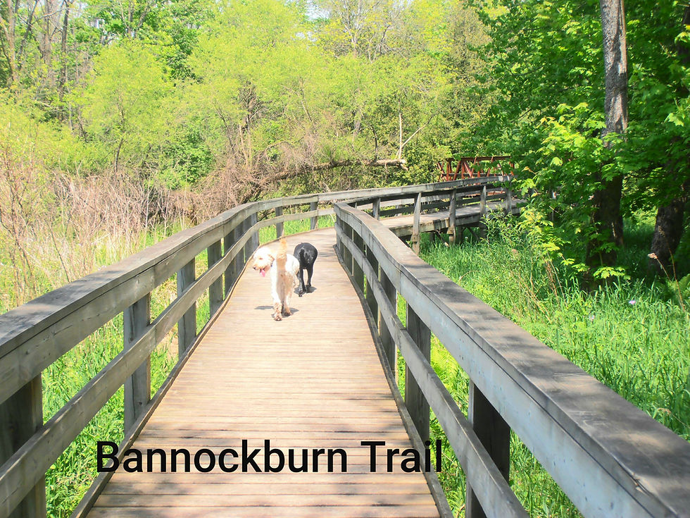
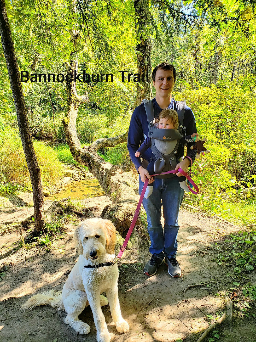
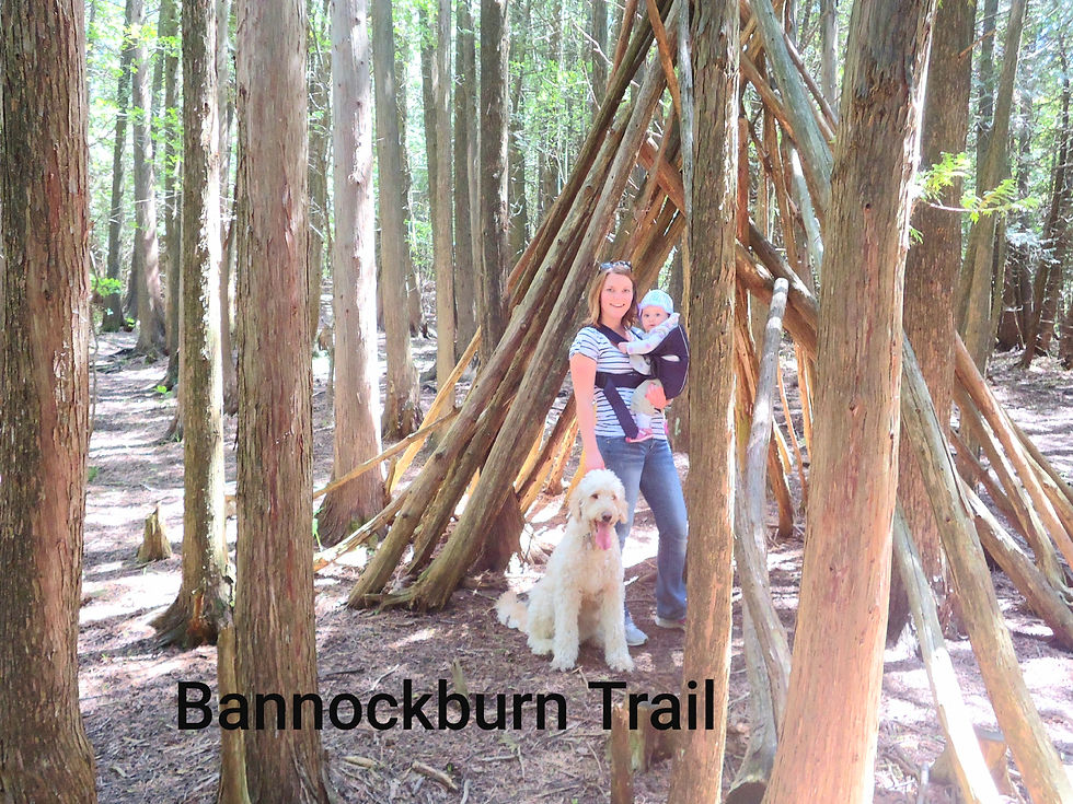
This may be my all time favourite trail in Huron County. I have been hiking this trail since I was a kid. I have family pictures to prove it. My brother was also married on this trail, interesting fact. So I guess you could say it holds a special place with my family.
This trail is a mix of boardwalk, bridges, well groomed dirt path and marshy wetland. You can take several loops to make the hike as long or short as you like. You can hike the entire trail within 1 hour, adding in the newest section with the view of an old farmhouse location.
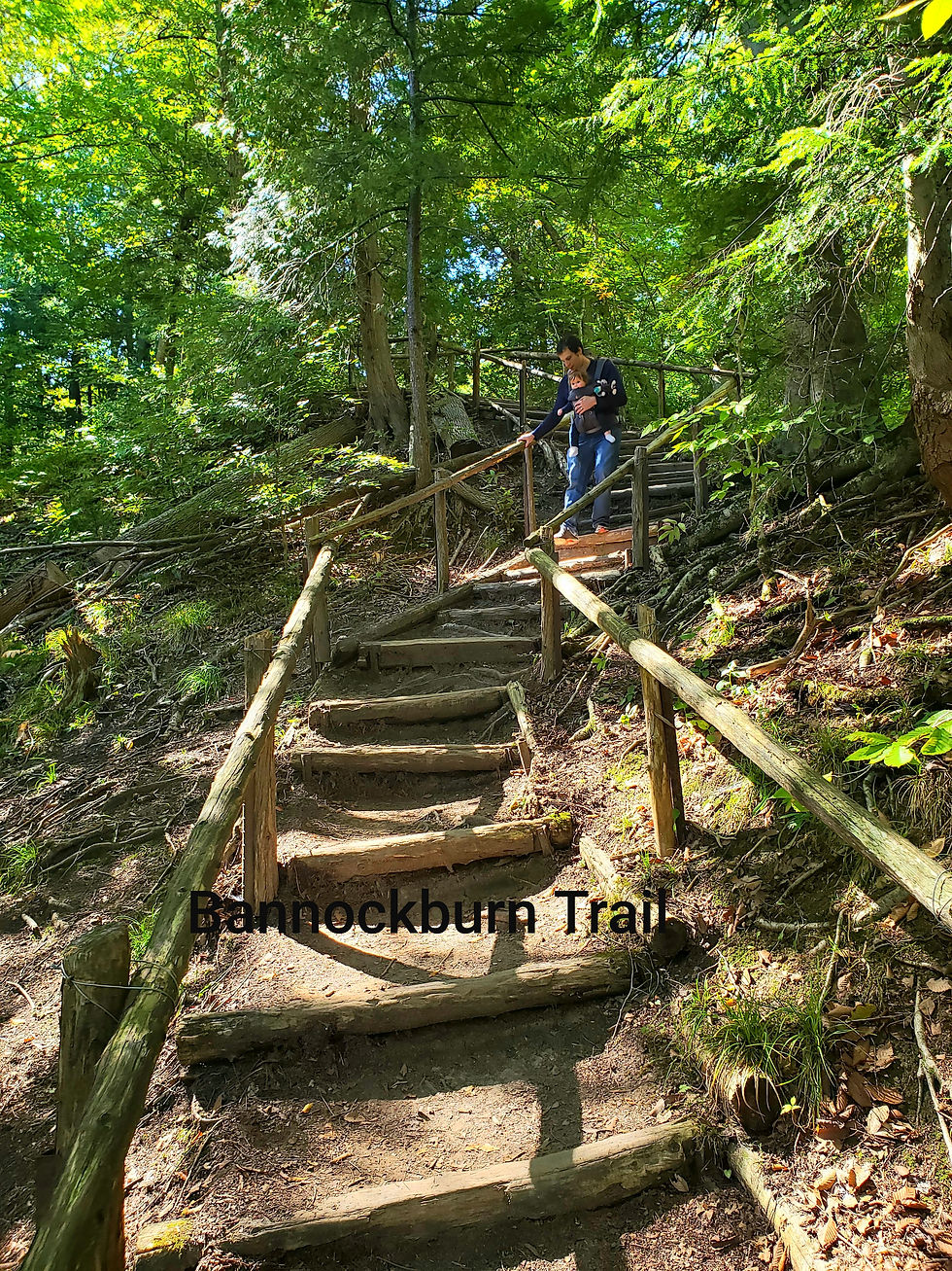
The first part of the trail is wheelchair/stroller friendly as it is all boardwalk. You will pass over the river and enjoy some beautiful wildflowers. At the end of the original boardwalk is a steep hill with stairs. This could be challenging for some. But once you get to the top the trail is easy- moderate to hike. You will come across some rustic bridges and boardwalks over the marshy areas. Otherwise enjoy the sounds of sticks and stones under your boots as you hike along the dirt path. This trail is relatively tree covered, which is nice on hot sunny days. The marshy areas can get buggy when it is really wet or humid.
There are signs/plaques along the trail to inform you of the surrounding trees and plants that you will be seeing.
There has been some erosion at the top of the hill making some parts of the trail narrow. They are not dangerous just something to be mindful of if hiking with children, pets or in wet/muddy or snowy weather.

Speaking of snowy weather. This trail is gorgeous in the winter. The snow can be deep so you will want to be clothing prepared. But the snow in the trees makes a quiet, soft winter wonderland. Another fun fact, those stairs on the steep hill I mentioned earlier....makes a great slide when snow covered.
Bannockburn Tract
Details:
74739 Bannockburn Line, Varna (South of Mill Rd.)
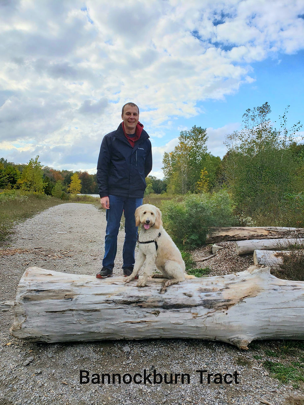
The Bannockburn Tract is a newer trail, but not a new area. The location of the trail is on the property of an old County gravel pit. To get to the trail head you will have to drive down a long, bumpy gravel "road". It is very narrow, take your time and if you meet another car you will get to do the awkward car dance. There is parking at the trail head. You will see it, also there is a log blocking the path to the water.
There are multiple trails you can take once you arrive. In the parking area you will see a map and some information about the property. We like to start the walk by going to the water and walking across the sand to the back of the pond. Like I said earlier the trail is newish. So you may notice that there are changes, it is a work in progress. The main trail has a small bridge to cross over a creek.
This is not a stroller or wheelchair friendly trail. It is very rugged. You can expect hills, mud, uneven terrain. sticks, trees and unmarked trails. I think this is why we like it so much.
Naftel's Creek
Details:
79154 Bluewater Hwy. Goderich
Approx. 4Km

Naftel's Creek has mulitple trails (trail lengths) to choose from. Honestly I do not think you can go wrong with any of them. However, I would suggest doing them all. To hike the full trail takes about 1hr.
From the parking lot stroll down the entry path to the map. From there pick the colour trail you want to complete. Then follow the colour marker that is painted on the trees. You will go through a few different types of terrain, depending on the trail you choose. Tree lined or more sun; maple leaves or pinecones; water or dry; flat or hills; rocks or dirt? Or see it all?
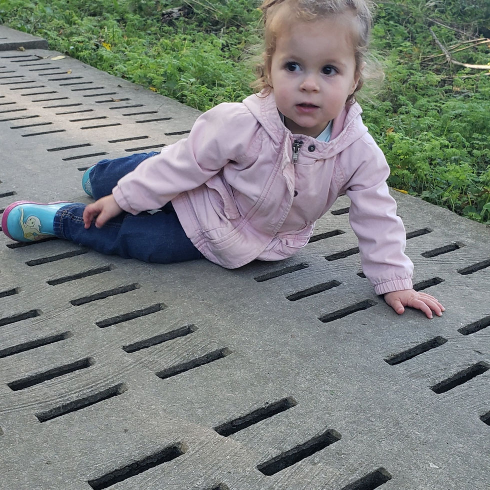
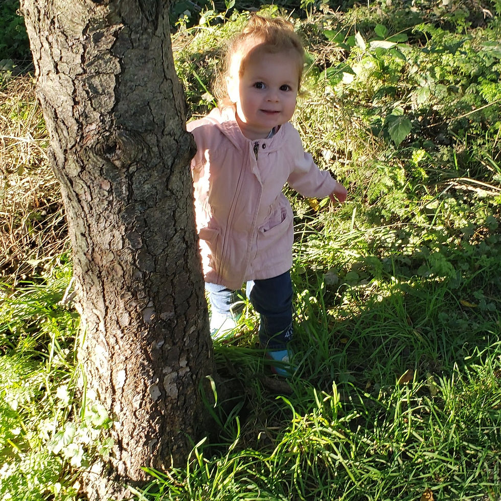
The last time we hiked this trail was with Audrey. It was nice for her to practice her colours, as it was her job to point out the yellow markers for us (he was 12 months old and yellow was her favourite colour). We took the carrier for this trail. I imagine you could cobble together a trail that would be stroller or wheelchair friendly, but overall I would not recommend it.
We did let Audrey hike the entry path from the car and then back once we were done the hike. It was the perfect length for her to explore and get to walk on her own.

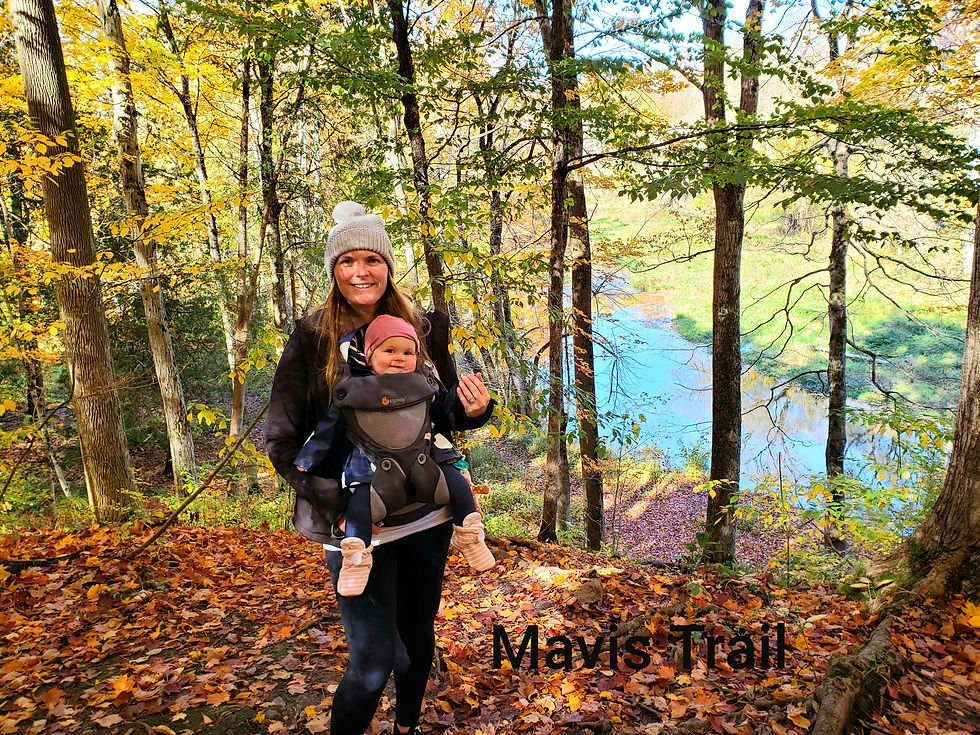
Mavis/ Taylor Trail
Details:
38572 Mill Rd. Varna
Approx. 4Km
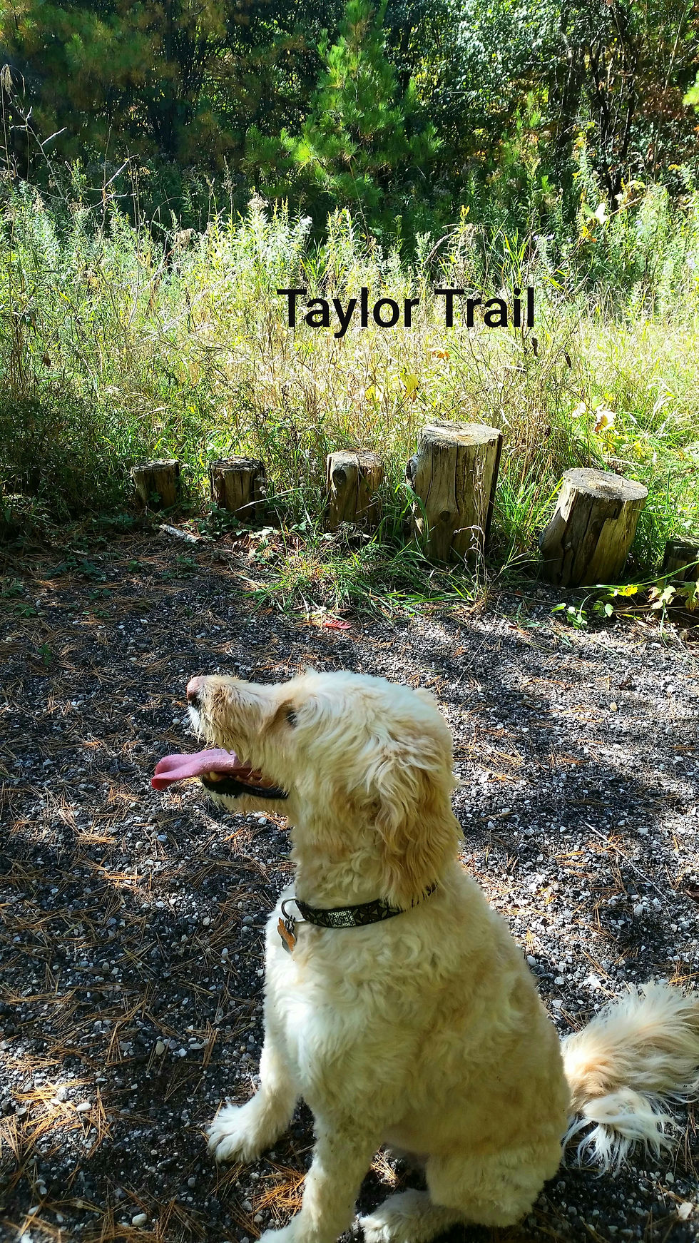
Technically this is 2 different trails. But we suggest doing them together. The Taylor trail is approx. 1Km of flat easy terrain. In nice weather this trail is both stroller and wheelchair friendly. There are 2 bridges to cross as you do the loop and is tree lined, pine needle covered trail. You can either just do the loop and head back to the car or you can join up with the Mavis Trail.
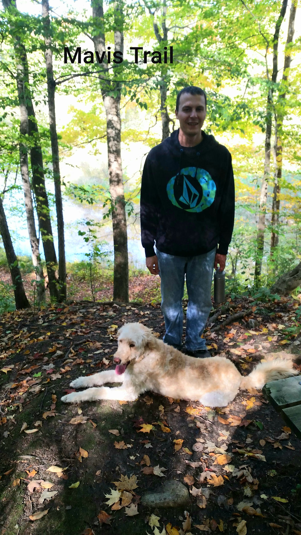
The Mavis Trail is approx. 3.5Km. This is not a stroller or wheelchair friendly trail, if you do the whole thing. However, you could do a small loop that would be okay. Obviously you just turn at the stairs. After the stairs you cross a bridge over the creek. Then climb up the other side. Hiking along the edge of the trees you will see fields and fences. But keep going and you will see small foot bridges, beautiful trees, and the highlight the Bayfield River. Take a break on the bench to enjoy it. There has been some erosion on the Mavis Trail that has left some canyon like holes along the trail. The Bayfeild Trails committee (the volunteer organization that looks after this trail) has done a wonderful job at keeping things neat and most importantly safe. So this has not been an issue for us, except it is a reminder of how quickly things can change. Overall this trail is not challenging, however, expect hills, tree roots and mud. We love this trail and hike it regularly.


McNaughten/ Morrison Dam Trail
Details:
71108 Morrison Line, Exeter
Approx. 8Km
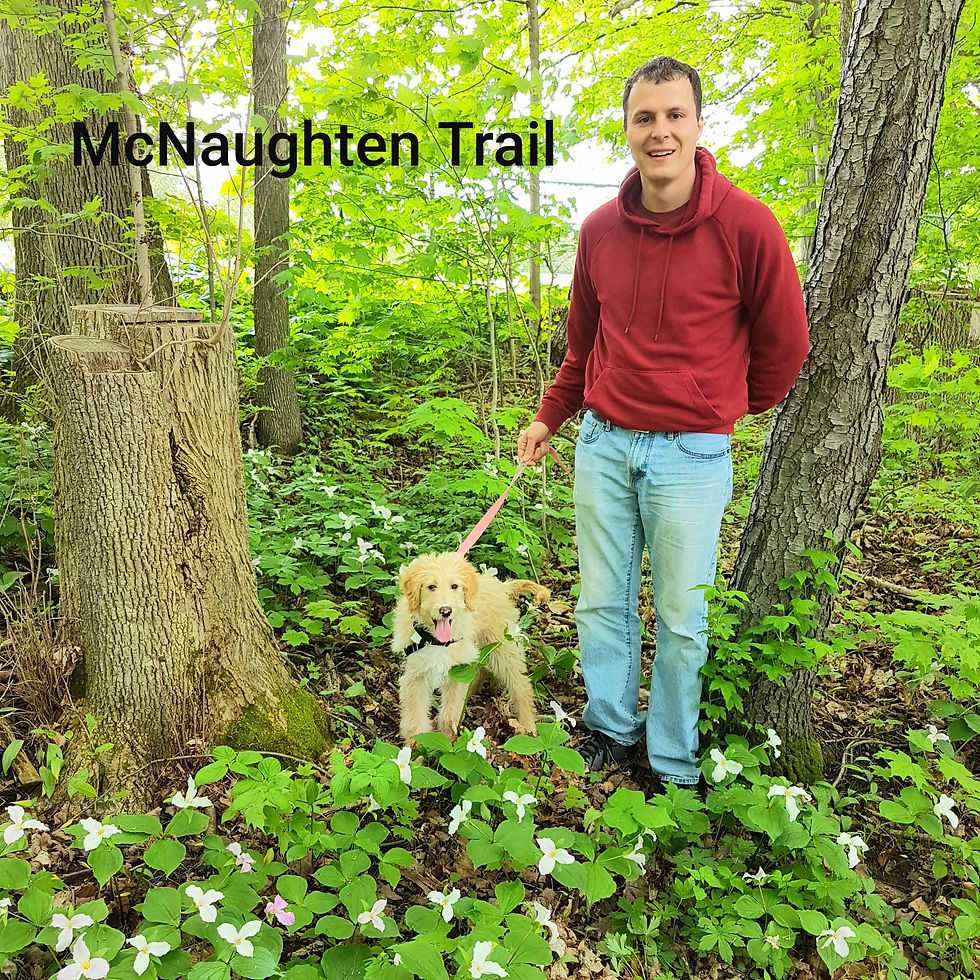
This is our go to trail. It is very well maintained and well used. You are almost guarenteed to see someone else on this trail with you, which is not the case with the previous trails recommended.
We typically start this hike from in town at McNaughten Park in Exeter. However, it is nice to park on the side road and go from there (see address above). We have taken a stroller on this whole trail in the past, however, I do not recommend it. This is also the longest trail we have on the list. to hike the entire trail takes us about 2 hours. You can shorten this if you wish to only walk sections. If you do the trail in its entirety you will see the river and the Morrison Dam, geese, birds and the infamous white squirrels of Exeter. There are sections with bridges, the newest is right at the Morrison Dam by the road. It is lovely and has been highly anticipated. This trail is mostly tree covered but it can get warm in the summer months.
I hope you enjoyed learning about some of our favourite hikes. Family hikes is one of our favourite things to do. So if you have any recommendations for us please let us know in the comments. We would also love to hear from you if you have done any of these hikes and what you thought! we are always happy to give suggestions or answer questions, so don't be shy!
コメント